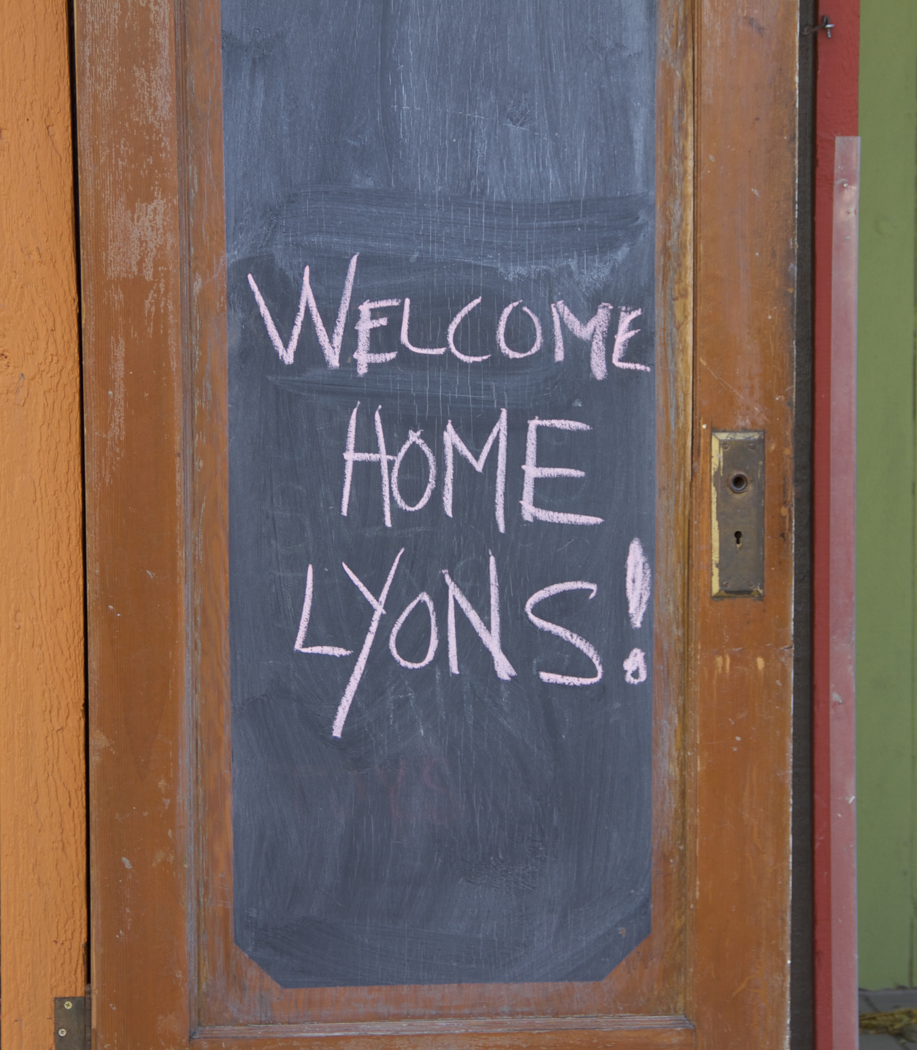
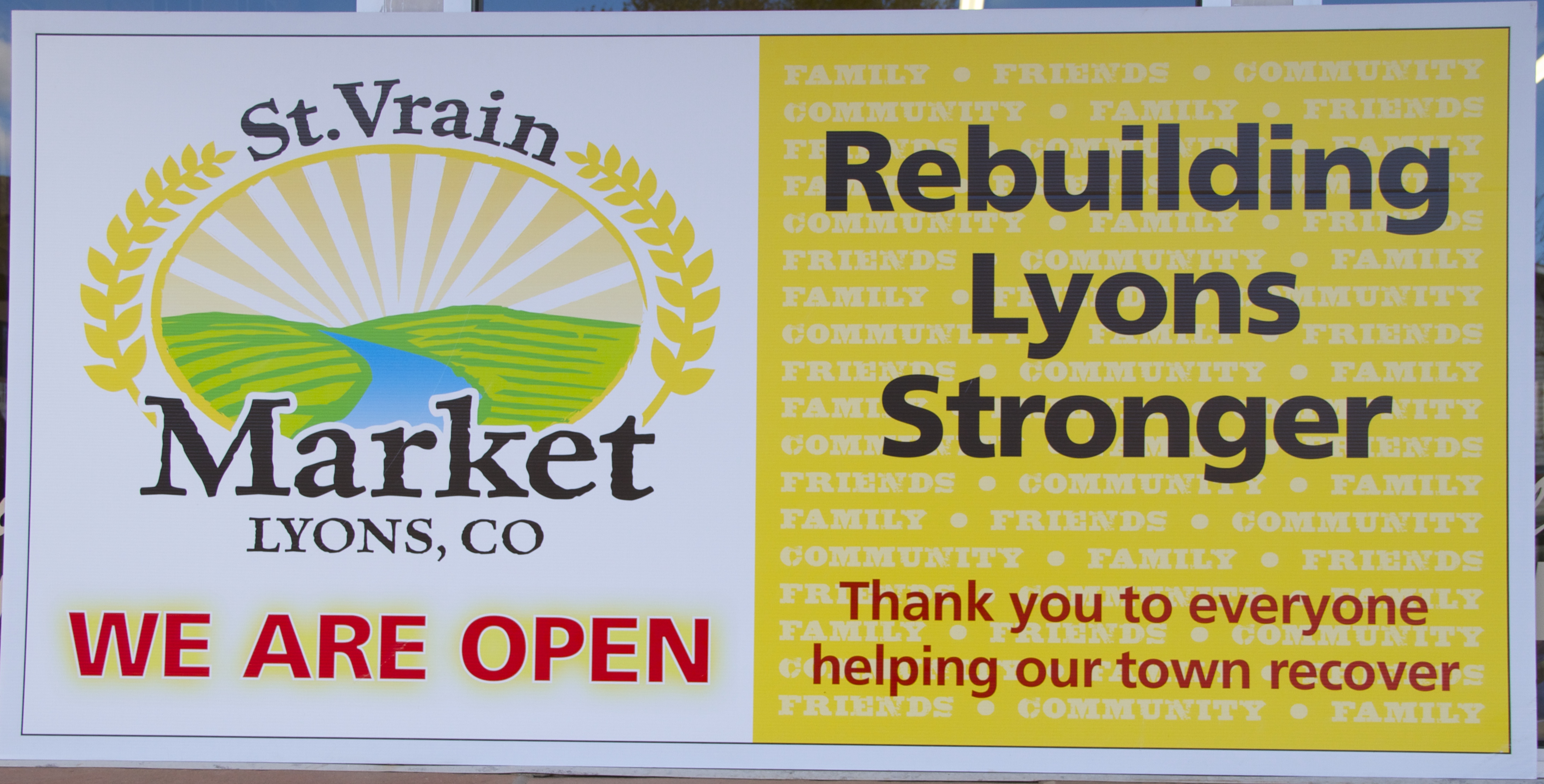
Unfortunately, I did not make it to Greeley or Evans today. I got stuck in traffic fairly early on, and was losing time on my last day in Colorado. I decided to head back to Longmont where I could do some work on the St. Vrain and rent gouging in Boulder (two other posts I’ve been working on while here, but require a bit more research).
After I got back to town, I realized in relatively short order that it was good that I had not gone out there: while Greeley, according to the local newspaper, seems to be getting back on its feet and some of the main roads are open, several county roads in the area remain closed, and much of 34 in the business loop is also inaccessible to the public. This meant I would not have been able to see some of the areas I was most interested in very easily (i.e., how the local business community is faring as well as how the farming and ranching communities are doing). So, after spending time finishing up research on two other posts I’ll be publishing when I return home, I thought I’d summarize some of what I learned in preparation for the tour of Greeley. Some of this will just be review for the Coloradans who have been visiting the blog the last few days (thank you, by the way — love having new readers!). But for those outside the area, it just might be brand new.
As Coloradans know, Greeley, which is the county seat of Weld County, and the area around it were very hard hit during the flood. Here’s a link to raw footage produced by ABC7 News of the floods in Weld County. The extent of the flooding is breathtaking. Trailer home communities were devastated, cattle were stranded, and fields were either drowned or silted away. Many county roads were damaged or washed out, not to mention the serious damage to the main transportation arteries into Greeley.
Unlike the communities I visited yesterday, Weld County is in the Colorado Piedmont. When I first read about Greeley and saw the photos from Weld County, I was in Carbondale. I had the impression that Greeley was a small farming community — it was a very wrong impression. Greeley has over 92,000 people in it, and Weld County has farmers, ranchers, immigrant communities who work on the land and in the city, mineral extraction industries, and food processing businesses — as well as being home to the University of Northern Colorado. The severe flooding in the area means very large numbers of people are directly affected, and indirectly the various industry and business in the area will affect the entire state as well as parts of the country.
Located in the high plains of Colorado, Greeley, Evans and the other communities in the county are part of the Colorado Piedmont. For those unfamiliar with the geography of Colorado, Greeley is north of Denver. The map below should give you some idea of the difference in land formation between the Front Range communities and foothill communities where I was yesterday and the plains communities of the piedmont:
 [map]
[map]
You can see on the map that most of Colorado’s population centers are in some part of the plains in the state. While the area is definitely lower than some of the high plains that sit to the north and east, the elevation of Greeley is over 4500 feet. As I already mentioned, the 2010 census showed a population of over 92,000, so we are not talking about a tiny town surrounded by farms. The census shows that the city is approximately 34% Latino and 55% white. The rest of the population is made up of a mix of other races. Greeley has also had a fascinating history if you’re interested in the western US. (There is a Greeley History Page here.)
The South Platte River runs along the southern boundary of Greeley and its neighbor Evans, while the Cache la Poudre River runs to the north. During the floods, I posted a link to photos taken by NASA. These were shots of the swollen South Platte River, and showed clearly that many roads were washed out, and a chunk of Greeley and Evans as well as the agricultural areas along the river were inundated. Indeed, those roads are not all open, though as I mentioned the main arteries have been cleared and are, at least along Highway 85, accessible. However, because of Greeley’s particular mix of dense population, agriculture and oil and gas industries, its recovery process is going to have some special challenges.
Flood recovery in agricultural communities is a particular interest of mine since I have gotten to know some of the folks who were impacted in agricultural and rural communities in Missouri and southern Illinois during the 2011 floods along the Mississippi. I think we often do not realize just how terrible an inch of silt can be for a farmer, let alone heavy silt or major soil erosion. Or how difficult it is to evacuate livestock and move heavy machinery on short notice. And imagine, what would happen if a flood hits just as the harvest has begun or in the middle of it? A year of work — not just in profits, but hard, hard work — gone in a few hours of intense flooding.
You may be thinking, “Well, they have crop insurance,” but that may not be true. Or it may be true, but crop insurance will not make up for the loss of a field to heavy silt. Depending upon where the farmer lives, flood insurance may not be a viable option financially. Much of what happens during evacuation and recovery, then, depends upon the business decisions made by the farmers and ranchers long before the flooding. Those decisions rest upon several factors, including the size of the farm or ranch, how much acreage is in crops and what kinds of crops, the livestock they produce and how much they have to move, the time of year of the flood, where the farmers are in the planting-growing-harvest cycle, where the livestock can graze, and so on and so forth.
Agricultural communities are complex, and during a disaster of any sort those complexities can make knowing what to do under the pressure of a sudden evacuation all the more difficult for the farmers and ranchers during the event itself, as well as the various relief organizations helping them get on their feet during the recovery process (if they get any help — often they do not since they are “just farmers”). The loss of a field (depending upon the size of the field) or a grazing pasture can be very damaging for farmers and ranchers in the long-term. Damage assessments should, I believe, take long-term effects of loss of profits into consideration somehow, not merely assess the immediate damage, particularly for family farmers and family ranchers.
I would think that these complexities are aggravated because Greeley is no small town and has its own damage to deal with. It’s large and is densely populated. The agricultural communities and the city have a relationship to one another that means if one is hurt, the other will also hurt. If both are hurt, the damage and pain is exponentially increased. This is why the fact that county roads continue to be closed or difficult to access is not good for the city, just as having the main business loop in the city inaccessible (for the most part) is not good for the agricultural community.
Moreover, there are multiple industries in the area. Some have to do with food and food processing, but there are other industries as well. Back on September 19th, the Greeley Tribune reported on 12 spills from oil and gas facilities in Weld County which had dumped oil into the floodwaters. While most of those spills were not large, two of them dumped over 19,000 gallons of oil into the water. While gas and oil spills are not rare during an extraordinary flooding event, they do add to the contamination that always comes with flood waters (think contaminants like mold, or other chemicals that enter the water through saturated building materials, etc.). US News also reported the story on their website, and included some disturbing photos of oil in the flood water. The Denver Post, similarly, reported the story, identifying some of the spills as having occurred south of Milliken. They, too, provided disturbing imagery of both washed out roads and oil filled floodwater.
More oil spilled in the weeks following those reports, and on October 2nd CBS Denver reported that the total number of spills was up to 15, and that together they had released 43,000 gallons of oil. Because roads were damaged and areas were still flooded, Colorado Oil and Gas Conservation Commission officials told CBS Denver that the assessment of the damage could take up to 90 days.
One of the questions I wanted to explore (and will continue to look into when I go home) concerns these spills: given how swollen the South Platte was and how far the water moved, where did that oil go? Is it settling into farmland? grazing land? Will it move into the water table (and, along with that, how deep is the water table in the area)? How is an oil spill made up of crude oil (as some of this was) different from a spill of refined oil? If it is taking longer to clean it up because roads are closed or washed out, how will that affect the land where the oil is sitting? And the waterways? And the groundwater?
I’m a political scientist, not a scientist, but my interest in environmental policy and property law is piqued here. What redress will landowners (of all kinds) and other property owners (of all kinds) have if they are affected in some way by the oil spills? What about non-property owning residents?
And, by the way… While chemical and oil spills are not unheard of during a flood, they do not happen every time a flood occurs. What exactly happened in this case?
Taken altogether, I am sorry I was not able to visit the area, and will be watching, listening and researching what is happening from afar. I hope to come back and spend some time there (more than a day, since there’s more than a day’s work to do) understanding the intricate problems residents are facing. Weld County’s recovery challenges are great, and do not involve simple clean up of debris and rebuilding. Transportation routes must be cleared and rebuilt as soon as possible to make other work possible. Residents and businesses will need help with soil remediation (to what extent we do not know yet) as well as making certain contaminants are removed from the water (if they make their way there) so that Weld Countians have a healthy and safe environment to live in. Farmers and ranchers will need help replacing their buildings as well as machinery, let alone livestock, seed, and depending upon where they were in the planting-growing-harvest cycle, financial resources to tie them over until a new crop and more money can be brought in. And, in addition to all that (as if it weren’t enough), making certain oil and gas producers are using best practices in securing their storage facilities — and perhaps helping them think through how to do it better — seems in order.
PS: And yes, I know I haven’t talked about the fracking issues, but I promise I’ll get there!)


You must be logged in to post a comment.